Under-Slab Sewer Mapping Before Replacement
October 1, 2026
North Texas homeowner guide
Under-Slab Sewer Mapping Before Replacement
Under-slab sewer mapping turns scattered clues—fixtures, cleanouts, camera distances, electronic locating and visible site conditions—into a usable planning record. It does not create a survey-grade drawing, but it can reduce assumptions before a repair, reroute, tunnel or through-slab scope is priced.
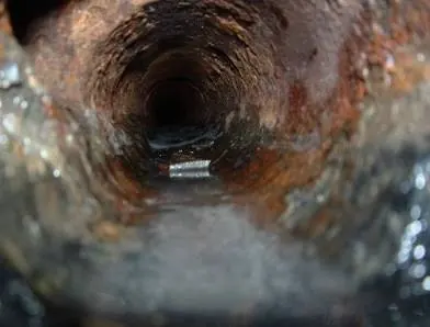
Guide summary
This is an educational planning guide, not a diagnosis or a report about one customer property. Inspection and field evaluation are required before selecting a method or price.
Under-slab sewer mapping: Under-slab sewer mapping defines the problem before the method
Under-slab sewer mapping is the process of organizing available evidence about drain routes, branches, depths, and access points beneath a building. The purpose is practical: identify what is known, mark what remains uncertain, and prevent a proposal from being based only on the shortest visible path between a fixture and an exterior cleanout.
A home may contain several branch lines that join a main under the slab. Bathrooms, a kitchen, laundry, floor drains, and additions may not follow a simple geometric pattern. Remodels can change fixtures without changing all buried piping. Cleanouts may represent only one route. Mapping starts with the actual property rather than a standard floor-plan assumption.
A planning map is not an as-built survey
Camera counters, electronic locators, measurements from walls, and depth readings each have tolerances. Finished surfaces, reinforcing steel, utilities, soil, transmitter orientation, and access can affect results. A responsible record labels measurements as observed, estimated, or approximate. That distinction helps the field crew use the map correctly and avoids presenting a planning sketch as an exact legal survey.
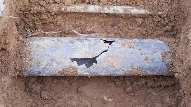
Five evidence sources that strengthen a sewer route map
The first input is the fixture layout. Record which groups drain normally, which share symptoms, and which can be reached by a camera. The second is cleanout and access-point location. The third is camera footage with direction and distance. The fourth is electronic locating of a transmitter or sonde when conditions permit. The fifth is the building and yard layout, including exterior walls, driveways, patios, landscaping, and likely downstream connection.
No single source should silently substitute for the others. A camera can follow an accessible pipe but may bypass an unentered branch. A surface locator estimates the signal position but does not display the entire pipe wall. Fixture behavior may suggest a shared route without proving the exact junction. The map becomes useful when these clues are compared and their limitations remain visible.
Label branch confidence instead of drawing every line as certain
A map can use categories such as “camera confirmed,” “surface located,” “inferred from fixture and flow,” and “unconfirmed.” This is especially helpful where a branch connection cannot be reached or where standing water prevents complete footage. The construction proposal can then explain whether additional access is needed before the final route is selected.
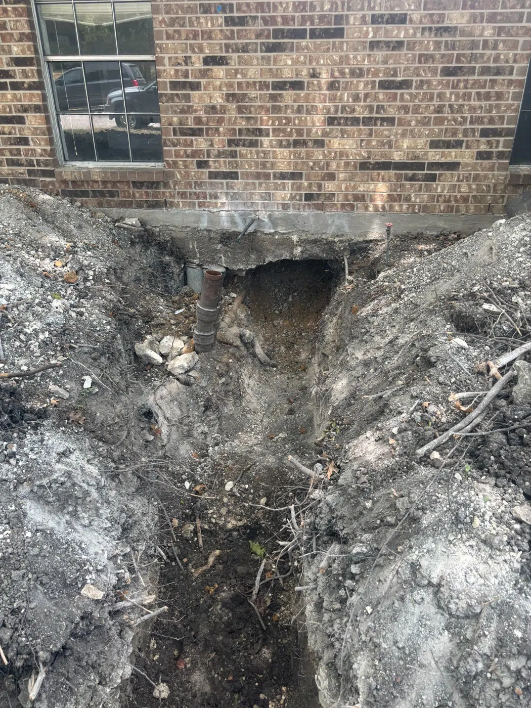
Depth readings guide access but do not answer every question
Depth affects excavation, tunnel approach, slope planning, utility exposure, and connection feasibility. Electronic depth estimates can be useful, but they should be checked against the equipment, signal quality, surface conditions, and physical reference points. A number on a receiver should not be treated as exact to the inch unless the field method supports that certainty.
Where pipe becomes exposed, actual measurements can update the planning map. Until then, estimates should carry a reasonable uncertainty note. This matters when comparing an exterior reroute with an under-slab path: a route that appears shorter on paper may need deeper excavation or difficult branch reconnections.
Grade is a route relationship, not one isolated depth
Gravity drainage depends on the relationship between upstream and downstream elevations. One depth reading does not establish the grade of an entire run. Planning may require multiple located points, known cleanout elevations, accessible connections, and field confirmation. Local requirements and the selected piping arrangement also influence the final installation.
Because buried utilities and private lines may cross a planned work zone, excavation planning should include Texas 811 and any necessary private locating. A public utility locate is important, but it does not certify the position of every private sewer, water, gas, irrigation, electrical, or low-voltage line on a property.
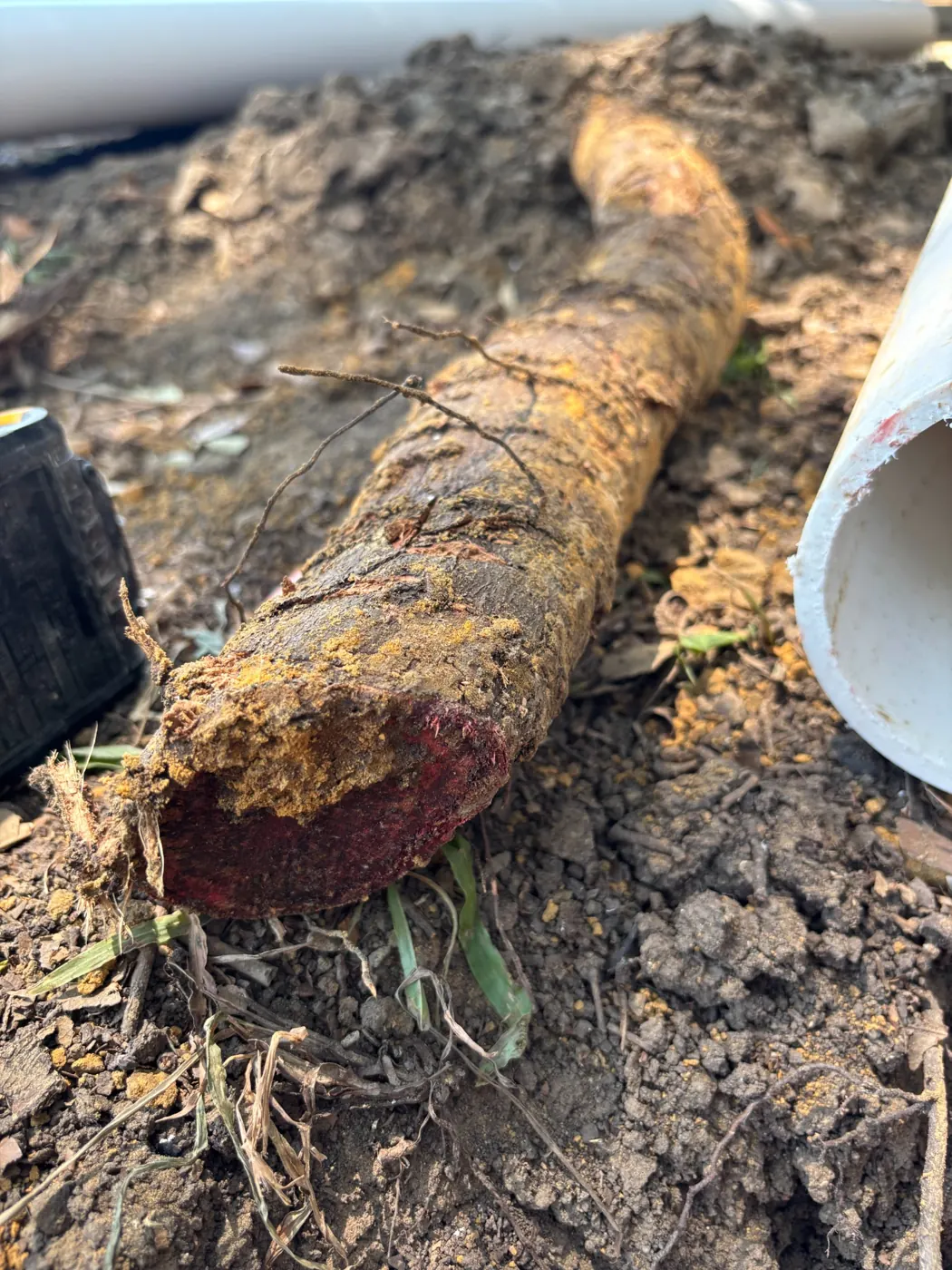
Use the map to compare access methods, not to force one
A map should make alternatives easier to evaluate. It should not be drawn to justify a method chosen in advance. Condition, grade, depth, access, branch connections, property layout, and local requirements remain the controlling factors.
Targeted repair
May fit a confirmed localized defect with sound adjoining pipe. Mapping helps define the exact work boundary and nearby branches. It may not fit widespread or repeated deterioration.
Under-slab tunnel
May reach pipe while limiting interior surface openings. Soil, structural conditions, distance, depth, work space, safety, inspection, backfill, and closure must be evaluated.
Through-slab access
May provide a direct path to certain branches. Interior contents, dust control, concrete, finishes, occupied-space protection, and restoration affect practicality.
Exterior reroute or trench
May reduce under-slab footage when fixture elevations and tie-ins allow. Utilities, setbacks, driveways, trees, grade, and downstream connection can limit the route.
Lining and pipe bursting also require condition- and method-specific review. Branch geometry, host-pipe continuity, access, transitions, grade, and local acceptance can control suitability. Mapping helps identify those questions but does not answer them by itself.
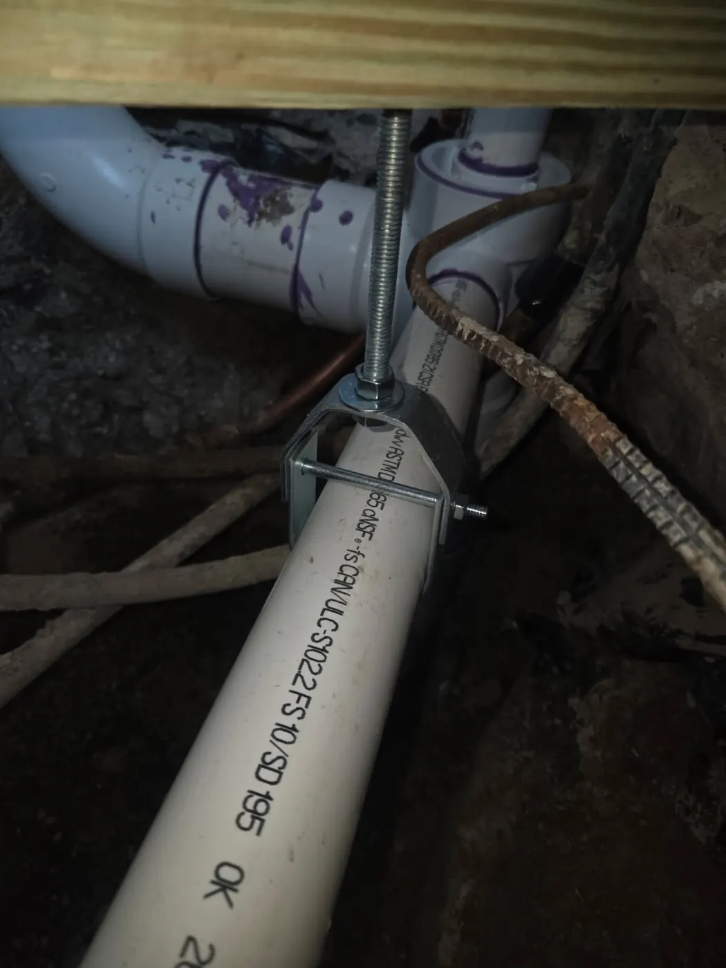
Mapping reveals the cost drivers hidden by a footage total
Two proposals may list similar footage while describing very different projects. A map can show whether one includes all bathroom branches, whether the kitchen and laundry remain on existing cast iron, where the new line exits the building, and whether the yard connection is part of the same phase.
Major price drivers include under-slab footage, depth, number and location of branch connections, chosen access, concrete and finishes, exterior excavation, landscaping, utility conflicts, permits, inspection scheduling, backfill, and restoration. A map also helps identify phase boundaries. For example, work to the front cleanout and work from the cleanout toward the public connection are not automatically the same scope.
Ask estimates to reference the same labeled points
Give points simple names: exterior cleanout A, kitchen branch B, hall bath junction C, and proposed exit D. Then ask each contractor to state which points are included. This makes comparisons more reliable than relying on phrases such as “whole line” or “all cast iron,” which may be interpreted differently.
CISRS currently offers a free cast iron sewer replacement estimate and a $239 sewer camera inspection. Confirm whether mapping, locating, depth notes, or a written diagram are included in the scheduled service. Property-specific construction pricing still requires inspection and a defined written scope.
What the final planning record should contain
A useful deliverable includes the property address in the contractor’s private records, inspection date, camera access point, direction of travel, key footage or distance references, located surface marks, approximate depths, fixture groups, known cleanouts, proposed scope endpoints, and unresolved questions. Public educational content should not disclose a customer’s address or identifiable property information without approval.
The map should travel with the estimate. If field conditions change the route, update the record rather than leaving the original diagram in circulation as if it were final. Keep the inspection video and photographs with the written scope so the next reviewer can connect each recommendation to evidence.
Safety belongs in the plan
Mapping is not authorization for a homeowner to excavate or enter a work area. OSHA identifies cave-ins as a primary trenching hazard and describes protective-system responsibilities in its trenching and excavation guidance. Contractors must evaluate the actual site, utilities, soil, depth, access, and applicable requirements.
For work in Dallas or another DFW jurisdiction, permitting and inspection procedures must be checked with the authority responsible for that property. Model-code language is not a substitute for locally adopted rules.
Homeowner checklist for an under-slab planning map
Begin with a simple floor plan showing exterior walls and fixture groups. Add every visible cleanout and label the camera entry point. For each inspected route, note direction, distance references, material changes, junctions, water levels, and the point where travel stopped. The purpose is not artistic accuracy; it is to connect each recommendation to a traceable observation.
Then add surface locating. Mark the receiver path, approximate depths, and the conditions that could affect accuracy. Reference fixed features such as an exterior wall, cleanout, doorway, or corner rather than temporary furniture or landscaping. Use different line styles or notes for camera-confirmed, electronically located, and inferred segments.
Questions that expose missing route information
- Which fixture branches were entered directly, and which were inferred from flow or layout?
- Where does new work reconnect to existing pipe?
- Does the proposed scope stop at a cleanout, property line, sidewalk, or another named point?
- Are depths measured, electronically estimated, or assumed from nearby access?
- Which utilities and private lines cross the proposed work area?
- What additional access would be needed if the actual route differs from the map?
Keep the map dated and attach it to the estimate. If excavation or slab access reveals a different route, revise the map and scope together. Do not let an early planning sketch remain the only record after construction changes the understanding of the system.
A good map narrows uncertainty without hiding it. That makes it useful for the contractor, homeowner, inspector, and any later professional who needs to understand what was inspected, what was proposed, and what was ultimately installed.
Frequently asked questions
Can a sewer camera map every branch?
Not necessarily. A camera follows the route it can enter. Separate branches may require different access points, and water, deposits, offsets, or geometry can limit travel and visibility.
How accurate is electronic sewer locating?
Accuracy depends on equipment, signal conditions, depth, interference, transmitter orientation, surface construction, and operator technique. Treat results according to the documented field conditions.
Is a route sketch the same as an as-built drawing?
No. A planning sketch may combine measured, located, and inferred information. It should label uncertainty and should not be represented as a survey-grade as-built unless that standard was actually met.
Why are several depth readings useful?
Gravity drainage depends on elevation relationships along a route. Several points can provide more context than one isolated depth, but final installation still requires field confirmation.
Can mapping prove a reroute will work?
It can help screen a route, but final feasibility depends on elevations, branch tie-ins, utilities, access, downstream connection, property layout, and local requirements.
Should the estimate include every branch shown?
Only if the written scope says so. The map should identify included connections and existing pipe left in service.
Does Texas 811 locate private sewer lines?
Texas 811 coordinates utility-owner responses for registered facilities. Private lines may require separate locating. Confirm coverage for the property and do not assume every buried line is marked.
Is license 45825 current?
The official Texas public record checked October 1, 2026 listed Steven Shipler’s Master Plumber license 45825 as current through September 30, 2027 and showed the Responsible Master Plumber endorsement.
CISRS service areas
City pages provide local service information. Project scope, permit requirements, and scheduling must be confirmed for the property.
Additional DFW cities may be served by scheduling availability.
Ready to Find Out What Is Happening Beneath Your Home?
Start with the evidence and a written scope.